Demographic Analysis
LCOG staff are experts in the use of Census Bureau data as well as a host of federal, state, and local demographic and economic data sources. In combination with our talented GIS experts, these data resources provide powerful mapping and analytical capabilities to our partners and clients.
In the years leading up to each decennial census, LCOG staff works directly with the U.S. Census Bureau to help improve the spatial data they use for collection, tabulation, and release of census results.
Available data sets and products:
- 2020, 2010, 2000, and 1990 census data
- American Community Survey data
- Customized mapping with demographic and economic data sets
- Demographic profiles
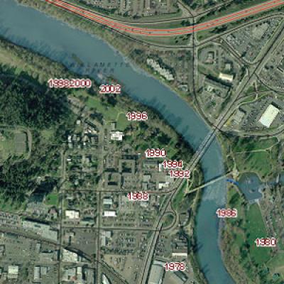
- Geo-coded countywide employment data every 2 years from 1978 to 2010
- GIS census boundary data sets
- Population estimates and forecasts
- Regional trends (PDF) below - a statistical profile of Lane County
- Demographic Information about Lane County and cities
Kyle Overstake
GIS Analyst
Email
Ph: 541-682-6684

